

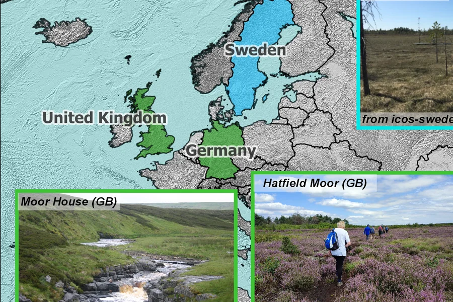
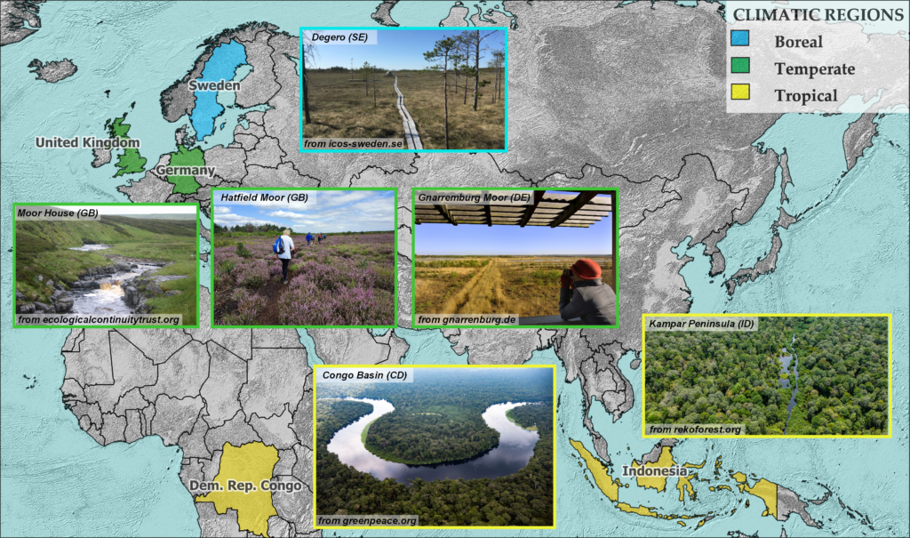
Through the ESA-funded WorldPeatland project, it was possible to assess the applicability of Multi-Temporal Interferometric Synthetic Aperture Radar (MT-InSAR) methods for the study of peatlands located in boreal and temperate climate zones, as well as tropical ones.
The observation of the peat surface deformation, also called peatland “breathing”, through MT-InSAR techniques can provide valuable insights into the peat condition and its contribution to the carbon cycle, including accumulation or loss of organic matter. Notwithstanding, when evaluating the applicability of MT-InSAR methods in these very special environments some factors need to be taken into consideration: the presence of dense vegetation inhibits the radar signal penetration; the phenological cycle and/or the presence of snow and open water cause SAR signal decorrelation and discontinuity, and therefore, errors in the surface deformation products. An additional factor that should not be underestimated when studying these environments is the availability of ancillary data, such as, geodetic networks (e.g., GPS receivers – Global Positioning System receivers), rainfall, water table height measurements and soil moisture, which are useful for validating satellite-derived results and correctly interpreting ground motions.
In our case, MT-InSAR methods were applied to long stacks of Sentinel-1 data and allowed to estimate mean ground velocity maps and related displacement time series at each of the selected study areas. Our findings suggest that these methods provide useful hints in natural peatlands found in temperate regions, characterized by low vegetation and water table not constantly above the peat surface, which in turn allow to maintain a high SAR signal consistency (the so-called SAR interferometric coherence). On the other hand, boreal and tropical peatlands appear more problematic: the former are characterized by snow in the winter months that causes interferometric coherence discontinuity in the scenes; the latter, by the presence of very dense forests that inhibit the penetration of the radar signal. Also harvested peatlands are challenging as they are continuously modified by humans, with periodic removal of peat layers, which effectively changes the surface properties, dramatically reducing the phase-consistent signal returns that are the basis of the InSAR technique.
Our MT-InSAR analysis allowed us to obtain deformation maps characterized by higher spatial density. We found mainly negative vertical surface motions, i.e. a subsidence phenomenon, within peatland boundaries that is likely associated with the degradation of organic matter. In some peatlands, this negative trend is compounded by oscillations that appear to be driven by shallow water table fluctuations.
A typical MT-InSAR product can be appreciated below: above is the map of mean vertical ground velocity, below is an example of a displacement time series derived from the analysis of points falling within the magenta rectangle within the peatland boundary.


